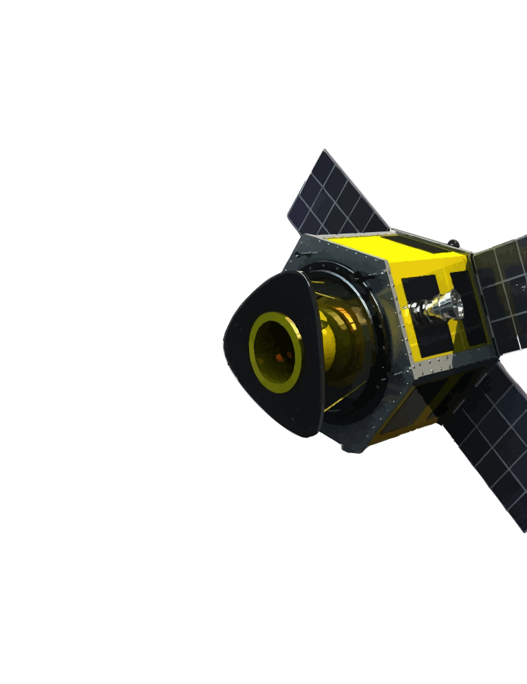
BHOOMICAM
GEOSPATIAL INTELLIGENCE
Secure Every Mission With Geospatial AI
AI-powered intelligence for real-time situational awareness and mission-critical decision-making.

Capabilities
What the platform does for your mission
Four core capabilities turn raw satellite feeds into decisions your command center can act on.
Change Detection
Detect critical changes over time using AI-powered SAR and optical imagery fusion.
Border Monitoring
Continuously monitor borders, sensitive corridors, and areas of interest.
Infrastructure Intelligence
Track strategic assets and critical infrastructure with real-time monitoring.
Mission Alerts
Transform data into real-time alerts, intelligence reports, and actionable workflows.
How data moves through the system
Satellite Data
SAR + Optical Fusion
AI Models
Change Detection
Mission Alerts
Command Center
Command View
One dashboard, every signal
Continuous surveillance, border monitoring, and rapid response — built for defense and security agencies that can't afford blind spots.

Detected Activity
Vehicle movement
Road Expansion
Change detected
New Structure
Possible camp
Bridge Activity
High risk
Troop Movement
In progress
Threat Zone
Active
Reliable
All-weather intelligence
Scalable
From tactical to strategic
Secure
Enterprise-grade data security
Mission-Ready
Actionable insight, every mission
Border Security
Military Intelligence
Critical Infrastructure
Disaster Response
Strategic Surveillance

Let's secure our borders, together

Helping organizations make real-time decisions from satellite intelligence