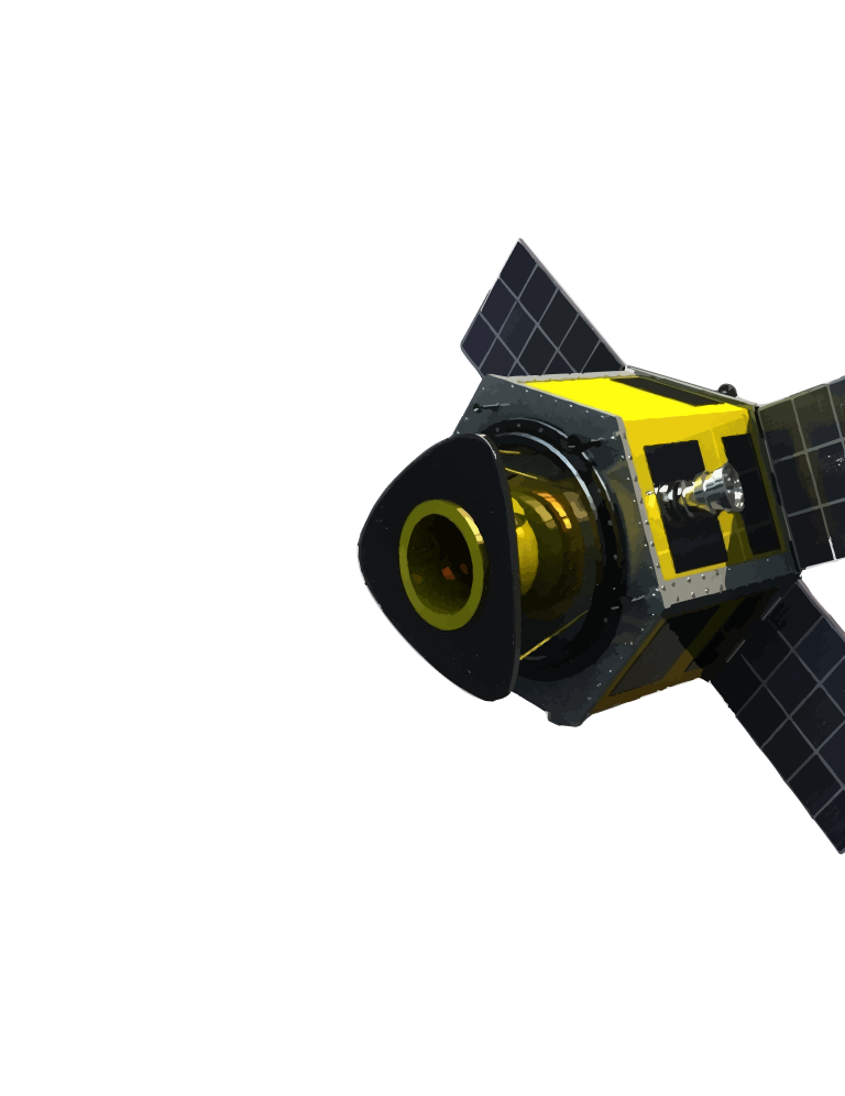
Transform Physical Infrastructure into Intelligent Digital Assets
Leverage AI, GIS, satellite imagery, LiDAR, and IoT data to create high-accuracy maps and dynamic digital twins of infrastructure. Monitor assets in real time, visualize operations in 3D, and gain actionable insights to support planning, maintenance, and smarter decision-making.
POWERED BY MULTI-SOURCE GEOSPATIAL DATA
SAR Imagery
Optical Satellite Data
LiDAR
Digital Elevation Models (DEM)
IoT & Ground Sensor Data
WHAT WE OFFER
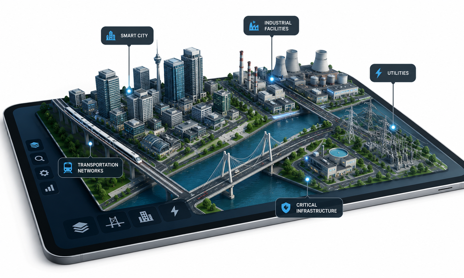
3D Infrastructure Models
Interactive digital representations of cities, transportation networks, utilities, industrial facilities, and critical infrastructure.
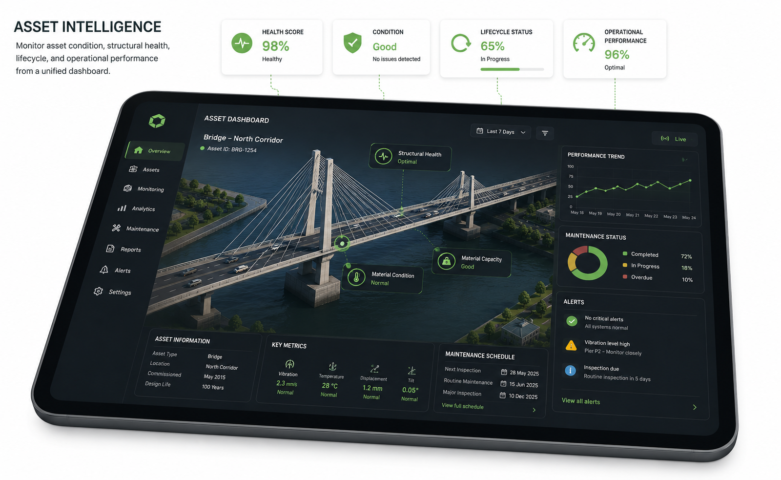
Asset Intelligence
Monitor asset condition, structural health, lifecycle, and operational performance from a unified dashboard.

Real-Time Monitoring
Integrate live sensor feeds and geospatial intelligence to detect changes, monitor performance, and support predictive maintenance.
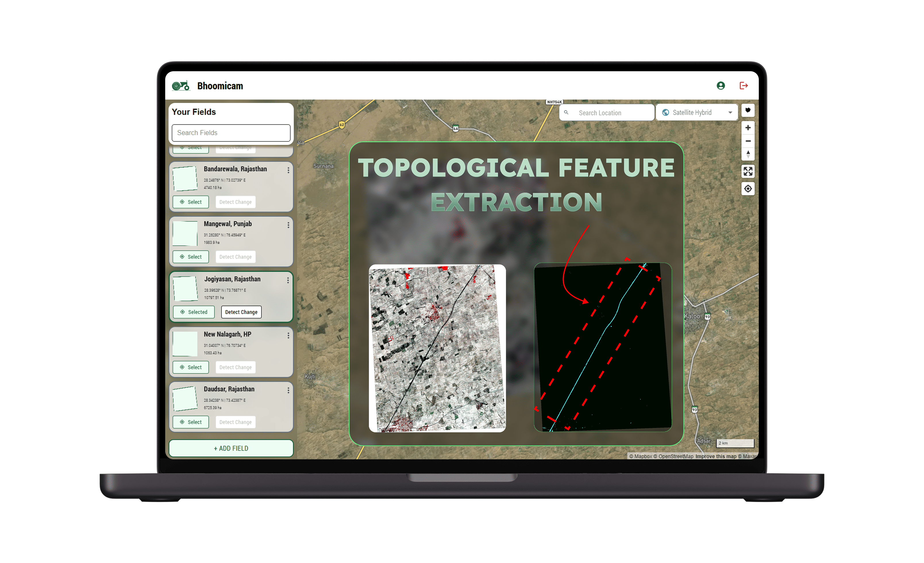
Change Detection
Detect critical changes over time using AI-powered SAR and optical imagery fusion.
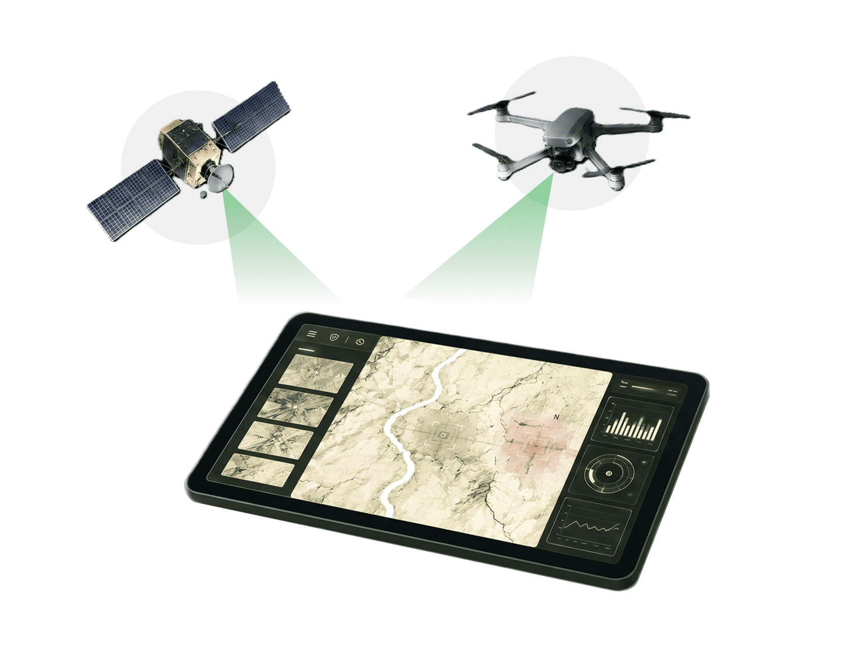
Infrastructure Intelligence
Track strategic assets and critical infrastructure with real-time monitoring.
OUR WORKFLOW
Data Acquisition
Collect multi-source geospatial data from satellites, drones, LiDAR, IoT sensors, and field surveys.
Data Processing
Clean, align, and process spatial datasets using advanced GIS and AI workflows.
Feature Extraction
Automatically identify roads, buildings, utilities, vegetation, terrain, and other infrastructure assets.
3D Modelling
Generate accurate 2D and 3D digital twins with intelligent asset layers and geospatial context.
Insights & Delivery
Deliver interactive dashboards, predictive analytics, reports, and APIs for operational decision-making.
KEY CAPABILITIES
High-Accuracy Mapping
Deliver precise, reliable maps and geospatial datasets for better planning and execution.
Intelligent Digital Twins
Create dynamic 2D/3D models that represent real-world infrastructure with accuracy.
AI-Powered Asset Intelligence
Leverage AI to detect issues, assess risk, and optimize asset performance.
Continuous Monitoring
Monitor assets and environments in real time for proactive operations and maintenance.

Helping organizations make real-time decisions from satellite intelligence