DATA ACCESS
On-Demand
Satellite Data Access
Access Raw Satellite Data Through Our Dashboard
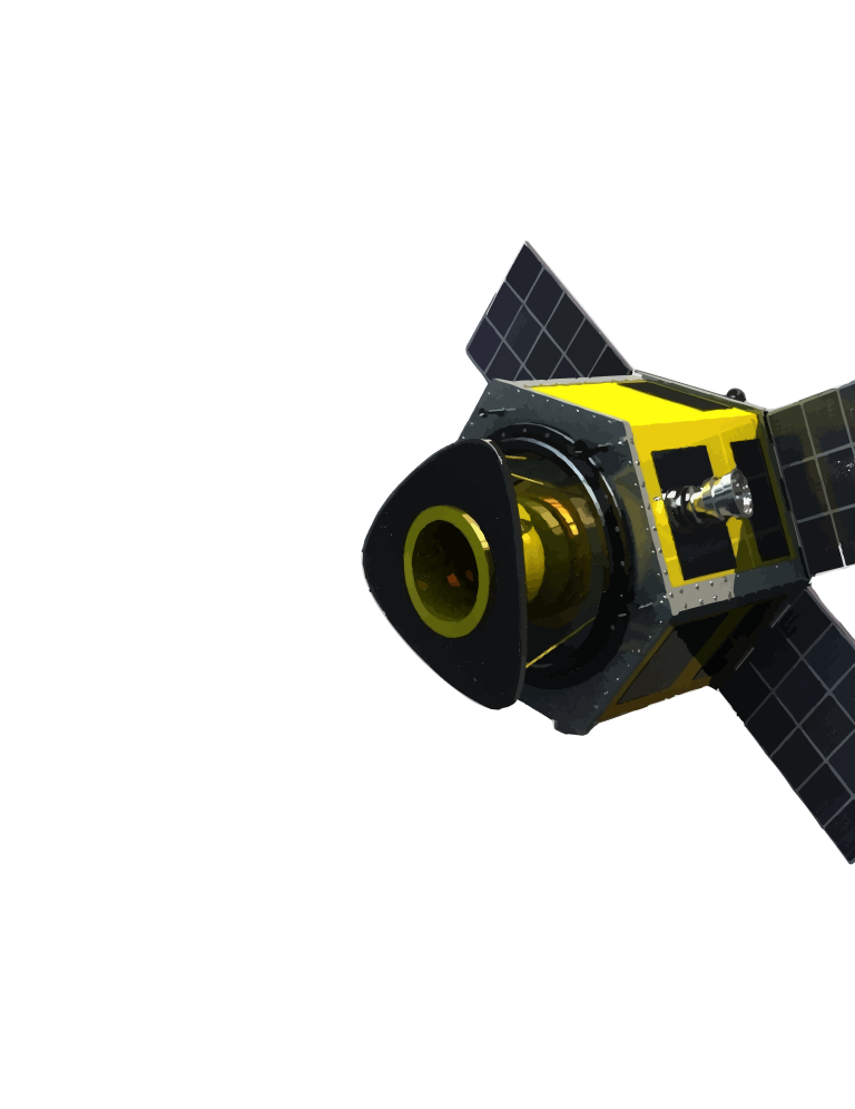
Explore and download high-quality satellite imagery from a centralized geospatial platform. Access multi-resolution datasets, visualize areas of interest, and integrate raw imagery into your workflows for mapping, analysis, and decision-making.
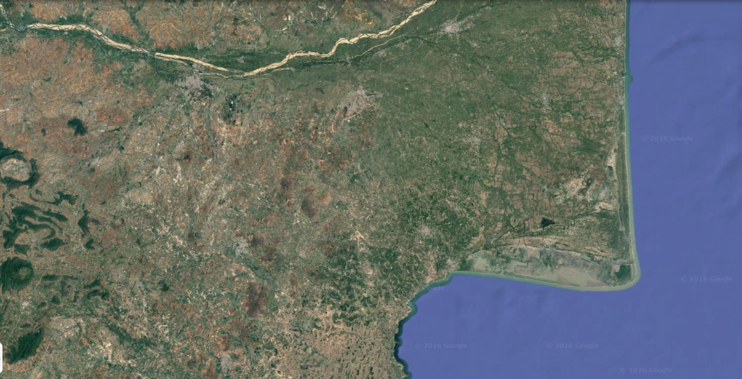

Available Resolutions
3 m Resolution
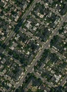
High-detail imagery for infrastructure, agriculture, and urban analysis.
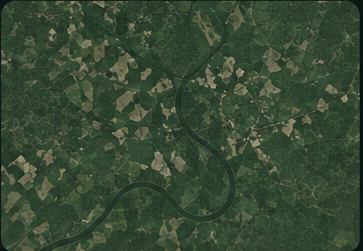
10 m Resolution
Ideal for regional monitoring, vegetation analysis, and environmental applications.
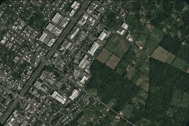
30 m Resolution
Ideal for regional monitoring, vegetation analysis, and environmental applications.

Helping organizations make real-time decisions from satellite intelligence