Building the Future of Crop Intelligence with AI & GIS
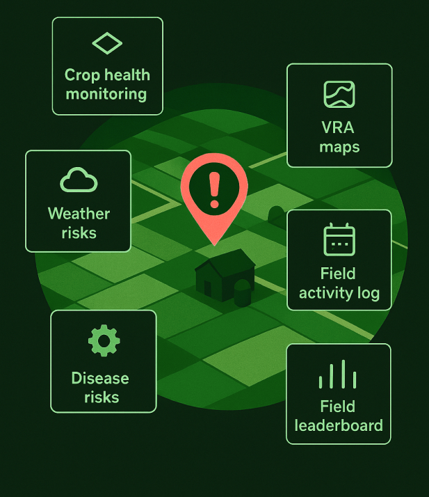
Bhoomicam's web-based Crop Analytics Platform centralizes all critical agricultural data, enabling real-time monitoring of crop health, weather, vegetation, soil moisture, growth stages, and field operations. Powered by AI and GIS, it delivers actionable insights that help farmers and agribusinesses optimize resources, increase yields, and make confident, data-driven decisions.
Available Resolutions
Choose the right resolution for your mission. Flexible options. Timely insights.
7
cm
Drone
Any Time
3
m
Almost
Daily
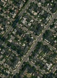
10
m
Every
5 Days
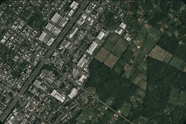
30
m
Every
2-3 Days
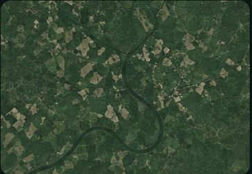
250
m
Historical Data
Until 2022
Indices We Offer Based on Earth Observation data
NDVI
NDRE
NDMI
GCI
MSAVI
EVI
NDBI
NDWI
MTVI
NDVI
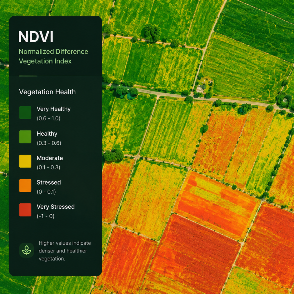
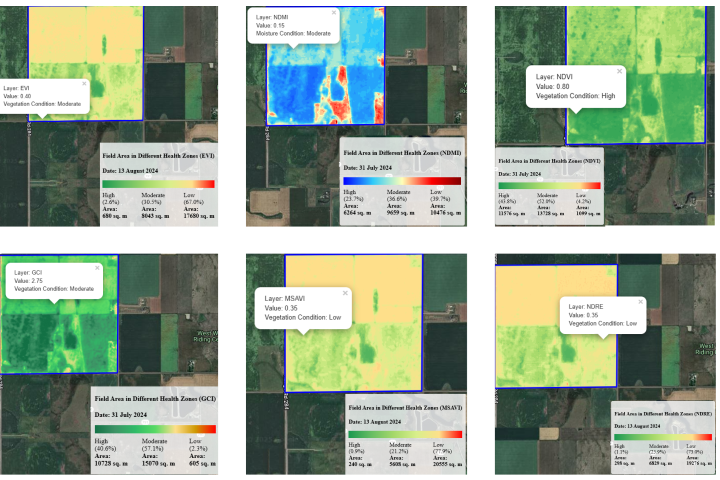
NDVI (Normalized Difference Vegetation Index) is a key indicator of crop health, measuring how plants reflect and absorb sunlight to assess their vigor. Low NDVI values suggest crop stress due to pests or diseases, while high values may indicate the presence of weeds affecting plant growth.
Smart Farming Made Easy in 6 Steps

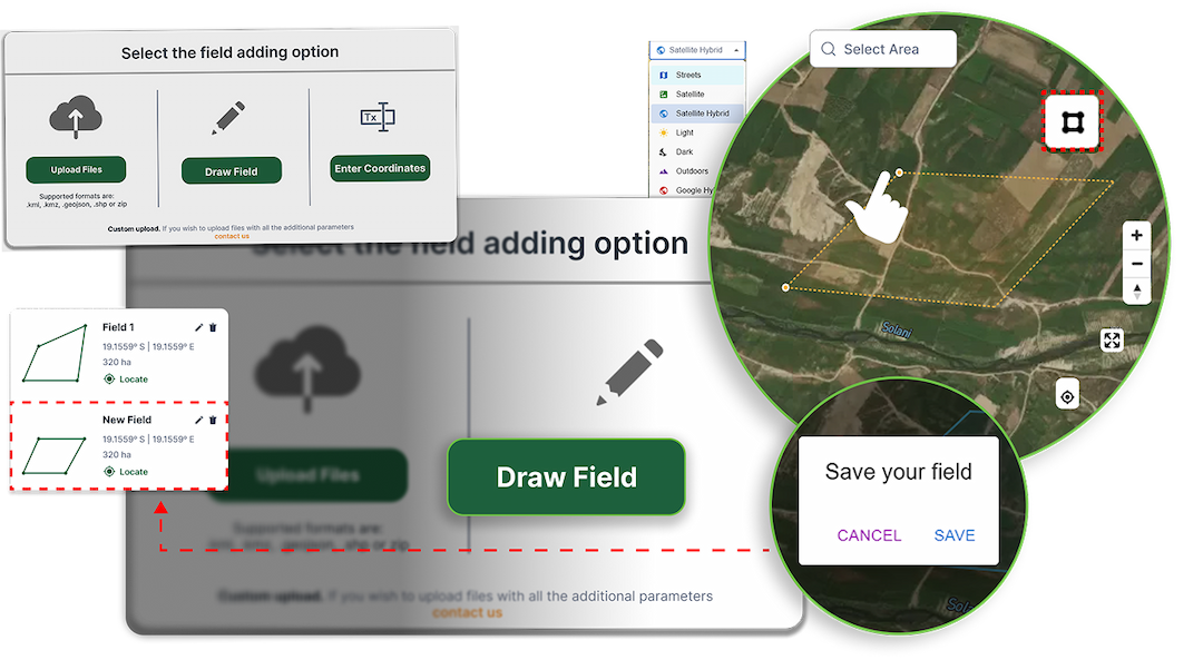
Create Field Boundaries
Create fields by uploading boundaries, drawing on the map, entering coordinates, or importing directly from the mobile app. Add season details easily.
Monitor with Satellite Data
Analyze Crop & Weather Trends
Identify Crop Risks Early
Take Data-Driven Action
Generate & Share Reports
Core Capabilities In Bhoomicrop Analytics

Satellite-Based Crop Monitoring
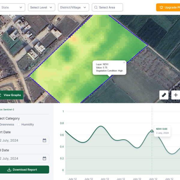
Monitor crop health remotely across multiple fields using 10 ready-to-use vegetation indices. With high-resolution Sentinel-2 and PlanetScope imagery, cleared of clouds and shadows, receive frequent updates every 2–3 or 5 days. Respond quickly to crop stress with accurate, up-to-3m resolution images for smarter decision-making.

Precision VRA Maps

Advanced Weather Analytics

Advisory Feature
The Bhoomicam Advantage
Access In-Depth Crop Intelligence
Leverage historical weather data and vegetation indices to gain deeper insights into crop conditions, assess potential risks early, and support informed decisions related to coverage planning and premium estimation.
Track Crop Health Using Satellite Monitoring
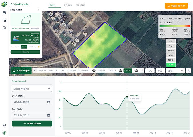
Monitor crop and field conditions remotely through high-resolution satellite imagery, enabling better verification, improved transparency, and reduced dependency on manual field inspections.
Improve Efficiency Through Smart Resource Management
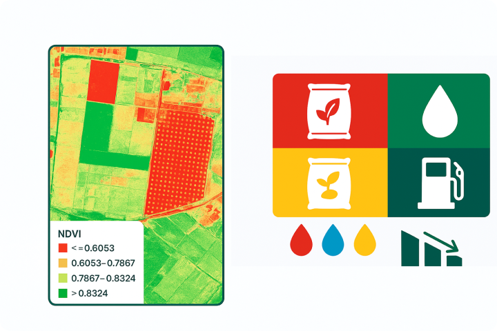
Use real-time field and crop data to streamline validation processes, optimize resource allocation, lower operational costs, and enhance overall efficiency across operations.
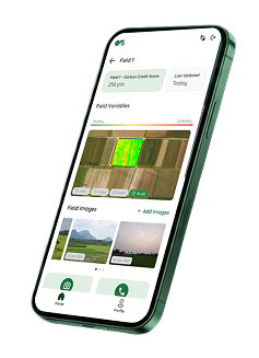
Bhoomicrop Mobile App
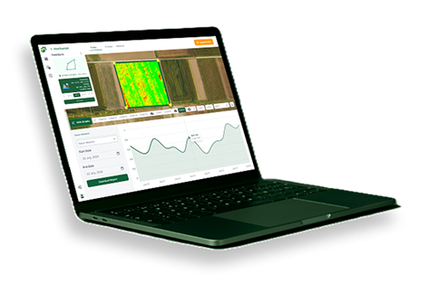
Enable farmers and agribusinesses to map field boundaries, access real-time crop analytics, and generate detailed crop reports - all through an intuitive mobile application.

Helping organizations make real-time decisions from satellite intelligence