Plantation Intelligence &
Tree Health Monitoring
Turn high-resolution drone imagery and field data into actionable plantation intelligence.
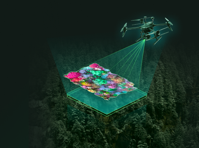
From Imagery to Intelligence
See Every Tree. Understand the Entire Plantation.
AI-powered analysis transforms high-resolution drone imagery into a structured digital view of your plantation — from individual trees to plantation-wide health insights.
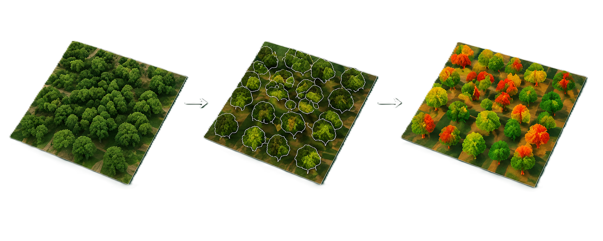
Plantation Intelligence, Layer by Layer
From individual trees to plantation-wide performance.
01Tree Intelligence
Automated Tree Segmentation & Inventory
AI identifies and segments individual trees from high-resolution drone imagery for accurate counting, mapping, and inventory.
02Plantation Health
Health Assessment
Understand canopy condition, vegetation status, density, gaps, and overall plantation performance.
03Spatial Monitoring
AOI-Based Monitoring
Create custom areas of interest and instantly view plantation statistics, segmented trees, and health information.
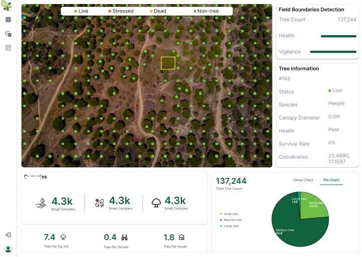
From Satellite View to Field-Level Action
Connect aerial intelligence with field observations to maintain a complete tree-level record.
Individual Tree Mapping
Mark individual trees and maintain tree-level records.
Field Data
Upload photographs, planting details, observations, and maintenance information.
AOI Monitoring
Focus on specific plantation zones and track their performance.
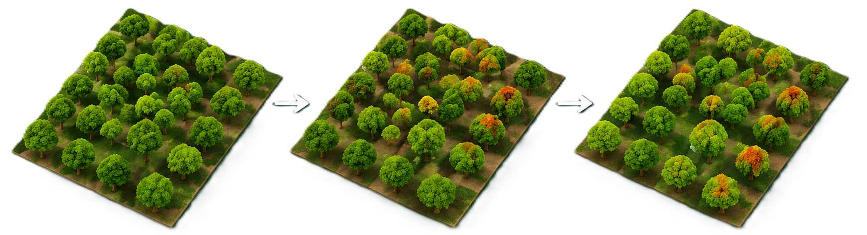
Monitor What Changes Over Time
Track plantation growth, health, mortality, gaps, and environmental impact across months and years.
Tree Growth
Health Change
Mortality
Plantation Gaps
Carbon & Biomass Insights
Use plantation and vegetation data to support biomass assessment and carbon estimation.
From Drone Capture to Plantation Intelligence
A complete workflow for monitoring plantations at scale.
01Drone Data
Capture or upload high-resolution imagery.
02AI Processing
Process imagery with geospatial AI models.
03Tree Intelligence
Segment, count and assess individual trees.
04Field & Dashboard
Combine tree-level observations with plantation analytics.
05Continuous Monitoring
Track changes, health and carbon indicators over time.

Bring Your Plantation Data. We'll Turn It Into Intelligence.
Upload Your Drone Data
Provide existing high-resolution drone imagery.
On-Site Drone Capture
Our team can capture high-resolution imagery at your plantation.